
August 28, Grasere, Switzerland
I left the Geneva Observatory early Saturday morning (Aug 27th) heading on my route to Germany.
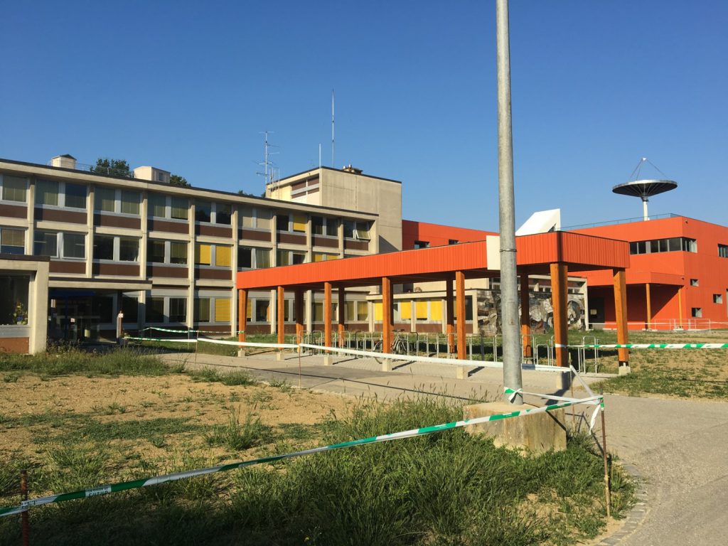
Geneva Observatory Headquarters
I had complained to the staff about my challenge in getting my phone recharged each day, and the administrator gave me a detailed map to a mall where I could buy a charger “brick.” It is supposed to be good for several recharges, so at least I will have this problem only occasionally now.
The ride along the new route (generated using Google Maps) was uneventful. I put in close to 90 km, and ended up in a campground along the southeastern shore of Lake Neuchaetel. I was really disappointed in this place. Essentially, I had to pay for everything twice; 21 francs to get into the joint, and then money for a shower, for hot water, for internet, to recharge you phone… They subscribed to the philosophy that, if they are making life easy for you, it must be costing them something. The reality is that you can give internet access away for free, and you can MAKE MONEY doing it. These folks have not yet caught on to this reality.
Fortunately, I got an email from my friend Rich Dixon, who reminded me that I had just visited an Observatory older than the United States, and I biked there. A few unnecessary bucks here and there do not define the trip! I saw some amazing things on the ride today:
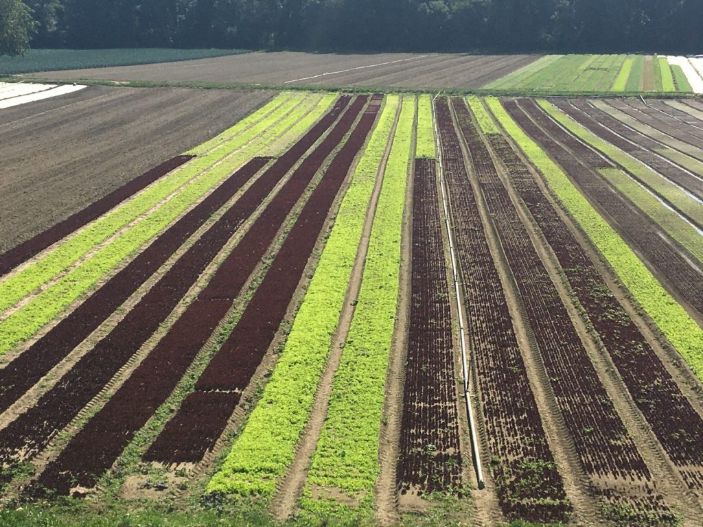
Lettuce
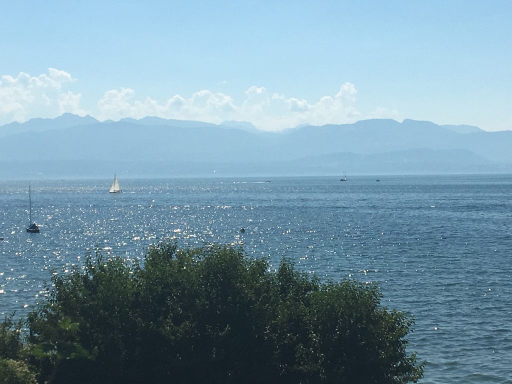
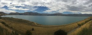
The lake with the mountains (Alps?) in the background. A bit hazy today.
The next morning, I continued the ride along the new Google Maps route. This started out well, but I ran into a real snag. The idea was to get to the south-east shore of Bieler Lake, where the campgrounds are. Doing so, however, would take me down a very long and steep descent. I double checked the route and noticed that it would be taking me on a path that mostly paralled the shore of the lake–not an unreasonable thing to do. It made sense because by following the shore, you avoid the hills in the surrounding region.
I turned onto the path and was a bit bothered when it became dirt. But I could easity steer to avoid the potholes. After about a mile down this path, I ran into a boat trailer graveyard!
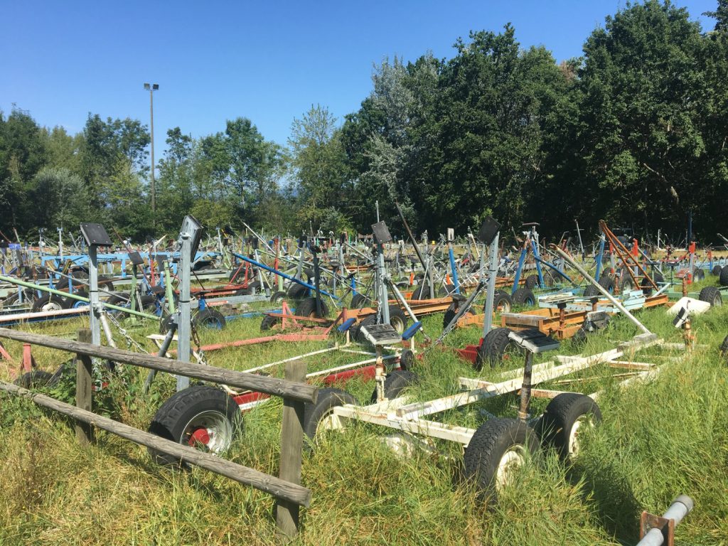
Boat trailer graveyard
Shortly after this, the path ended. Now, google maps showed that it did not. In these kind of situations, I tend to believe my eyes, rather than a theory or model. I even walked down where the path should have been. The shrubs and bushes were bent over bit, but it was muddy and there was no way I was going to try to ride down that thing!
I rode back the other way and asked a local person about the path. The ensured me that, regardless of what Google says, there was no path. However, if I were willing to move closer to the lake, I could pick up a path that went all the way to the next village, which is where I needed to be. So, I figured, what the heck–I’d give it a shot. The alternative was to ride back up this long hill that I had just come down, and I did not want to do that.
The man I talked to used the word path in a very loose way. Do you remember that part in the movie the African Queen, where Humphrey Bogart and Katherine Hepburn have to pull their boat through the reeds, getting leaches, etc.? That’s what this path was like. The path was reinforced with some kind of boards to keep you from sinking into the mud. I got stuff all over my arms and legs from the weeds that were grown across the “path.”
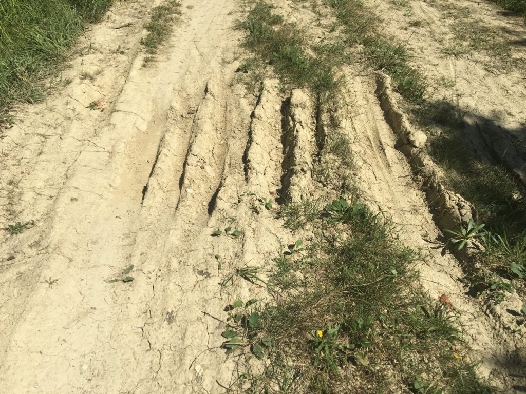
The part of the path where I still had enough wits about me to take a picture.
But, in the end, I made it. The problem, however, is that this is WAY too hard on my bike. It is not a mountain bike, and if I treat it like one, I will not get to the end of this ride.
I have to be realistic. Google Maps is incredible! Think about what you are asking it to do, when you say get me from point A to point B on a bike! An amazing algorithm–but not good enough to rely on. I suspect that it is not so much the algorithm, as it is the quality of its input data. There is no substitute for a route that someone has actually ridden on, and I am going to abandon this and go back to my original route. This will take me through a more boring part of Switzerland, but I will at least get there. Sorry Claude!
I am at a really neat campground along the northern tip of the Beiler Lake. The name of this place is “Camping Sutz.” It is quiet, not too expensize, and everything is included. Until tomorrow,
Scott
 Previous Post
 Next Post


Just had to sigh over what you are experiencing, Scott. 😊I’m sorry about the snags, but you are right to recognize the bigger picture. Maybe someday I’ll meet this Rich Dixon friend of yours! Love you!
Well, so much for “local knowledge.” I assumed Claude actually knew the path he recommended. Always amazed that people are willing to send someone they like on a route they don’t really know. I guess it’s the “need to sound like an expert” syndrome. Makes it really hard to trust any advice, but lack of trust is no way to live, either.
Keep following the dream.
LOL! You believe Google Maps? Well yes, its ***usually*** right, but it can certainly lead to the unexpected. Like when I ended up trying to follow a route to a small lake in the central valley on a project with a strict time line. I got there, and on time but it was via a footpath over a grassy hill leading to a dirt road through a farmers field. Boy did I scare the farm workers laying irrigation pipes when I came barreling over the hill at high speed!